La'Nina Hurricane Season Means More Landfalling and Major Storms
By: The Underground Meteorologist -For The Blake Moia Show
-----------------------------------------------------------------------------------------
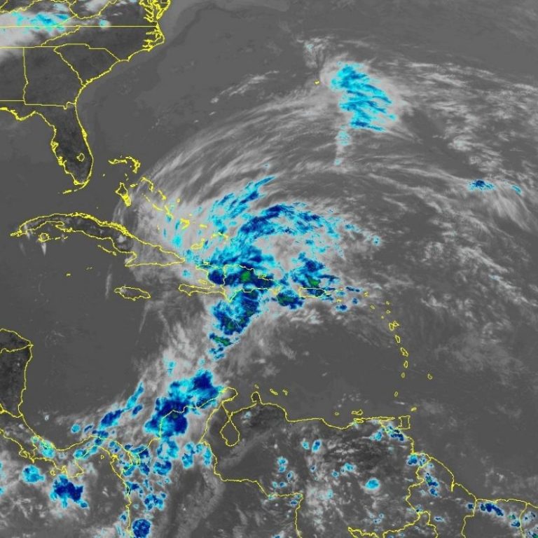
The National Hurricane Center has analyzed the first tropical wave of the upcoming hurricane season.
Satellite imagery captured late Wednesday morning showed a disturbance moving at 11 to 17 mph in the Central Atlantic southwest of the Cape Verde islands.
"The waters are very warm - Moreso than ever before this time of year", says Dr. Levi Cowan.
According to his bio, Dr. Levi Cowan creates videos and blogs pertaining to tropical cyclones, primarily hurricanes in the Atlantic Ocean. Posts occasionally concern other, non-tropical weather events around the world. Dr. Cowan has a Ph.D. in meteorology from Florida State University.
WATCH: Dr. Levi Cowan Explains La'Nina
"The Atlantic hurricane season nears, and two key oceanic regions are flashing signs of above-average storm activity. Developing La Niña is beginning to spread cold water across the equatorial Pacific, and the tropical Atlantic is warmer than normal. This contrast generally favors thunderstorm activity and lower wind shear in the tropical Atlantic, conducive conditions for hurricane development during the summer and fall.
The first storm in the Atlantic season can form as early as May, so now's the time to refresh your hurricane response plan just in case a storm comes your way this year."